My father envisioned the Long Path as a path to wilderness
To the Editor:
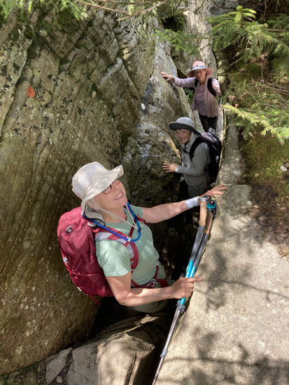
I read with interest the recent story in The Altamont Enterprise about the vision and activity around the Long Path [“Editorial: Bring the Long Path home to Altamont”].
The mission to create a “green belt” around the village and subsequent activity to plan a hiking-related sculpture celebrating hiking is outstanding [“Historic Altamont aims to preserve a ‘green belt’ around the Victorian village,” The Altamont Enterprise, Dec. 5, 2024].
The labor involved to extend the Long Path “resting spot” in Altamont is clearly a product of inspired leadership.
I write to remind folks that the Long Path as envisioned by my late father, Vincent J. Schaefer (1906-1993), was designed to celebrate the eastern highlands of New York ending at the top of Whiteface Mountain in the northern Adirondacks. A path to wilderness.
Dave Bourque [President of Historic Altamont] knows that the Long Path continues northward from Altamont crossing into the Adirondacks following landmarks described by Vince Schaefer in 1991.
It was Dave’s enthusiasm and planning connections that got the Warren County Planning Department to develop software for an interactive map plotting Schaefer’s landmarks from Schoharie through the Adirondacks “‘A labor of love’: Bourque maps Altamont’s history online,” The Altamont Enterprise, Jan. 22, 2025].
In 1991, my father created a guide for the Long Path North. The full title is: “Field Guide to the Landmarks of the Long Path of New York Northern Section Gilboa to Whiteface Mt.” prepared by Vincent J Schaefer M. V. H. C. 1931-1991. (Mohawk Valley Hiking Club)
Essentially it is a set of maps and descriptions as a folded pocket-sized collection. The hiker is advised to obtain the 28 United States Geologic Survey topographic maps needed to cover all portions of the LPN from Gilboa to Whiteface.
His detailed descriptions of the 84 landmarks and hiking philosophy are all part of the scanned document now acknowledged by the Library of Congress.
The Field Guide was scanned in 2021 by Dave Bourque. He and I submitted the scanned manuscript to the Library of Congress under my father's name.
The New York-New Jersey Trail Conference has maintained the high quality of the route through the Shawangunks, Catskills, and Helderbergs to Altamont. So far, so good.
But because of dedicated work, Altamont is now the celebrated resting stop for the Long Path. It is the terminus of the actively blazed Long Path some 350-plus miles from New York City. More importantly, Altamont becomes the launching spot for the next 200-plus miles of the Long Path North.
At some point in the not-too-distant future, the Long Path will be a 550-mile pathway from New York City all the way to the top of Whiteface Mountain. A lot of work remains.
But contrary to the media impression, the Long Path does not end in Altamont. It just rests there. And Craig [Campbell]’s sculpture is perfect! [“‘Welcoming presence’: Bronze statue will meet hikers at end of Long Path,” The Altamont Enterprise, March 23, 2026].
Maybe we can get him to design two more — one at each end.
James M. Schaefer, Ph.D.
Schenectady